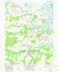
1955 Map of Milton
USGS Topo · Published 1982About this map
Milton sits at the head of the Broadkill River, serving as a central hub for the surrounding agricultural and coastal landscape of Sussex County. This mid-century survey reveals a patchwork of family-named crossroads and ecclesiastical landmarks, such as Siloam Ch and Wesley Chapel, which anchored the rural communities of Slaughter Neck and Broadkill Neck. The landscape is defined by its proximity to the Delaware Bay, with numerous ponds like Waples Pond and Ingram Pond feeding into the intricate drainage system of the Prime Hook National Wildlife Refuge.
Find a feature on this map
86 named features on this map. Tap any name to fly to it.
Don’t see what you’re looking for? This feature index may not catch every label — zoom into the map to look around manually.
Map Details
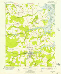
Editions of this 1955 Milton Map
2 editions found
Other maps of this area

1917 · Millsboro
USGS Topo · 1:62,500

1918 · Cedar Creek
USGS Topo · 1:62,500

1918 · Rehoboth
USGS Topo · 1:62,500

1918 · Cape Henlopen
USGS Topo · 1:62,500

1919 · Cedar Creek
USGS Topo · 1:62,500

1937 · Cape Henlopen
USGS Topo · 1:62,500

1938 · Cedar Creek
USGS Topo · 1:62,500

1938 · Millsboro
USGS Topo · 1:62,500

1938 · Rehoboth
USGS Topo · 1:62,500

1943 · Fairmount
USGS Topo · 1:24,000