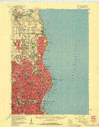
1958 Map of Milwaukee
USGS Topo · Published 1960About this map
Milwaukee and its northern suburbs are densely mapped during the late 1950s, showing a landscape defined by industrial corridors and academic institutions. The city's growth is anchored by major educational centers including Marquette University, the University of Wisconsin at Milwaukee, and Milwaukee-Downer College. Along the Lake Michigan shoreline, a series of residential communities like Whitefish Bay, Fox Point, and Bayside extend northward into Mequon. The Milwaukee River serves as a central spine through the urban landscape, flanked by parks such as Gordon Park and Riverside Park.
Find a feature on this map
104 named features on this map. Tap any name to fly to it.
Don’t see what you’re looking for? This feature index may not catch every label — zoom into the map to look around manually.
Map Details
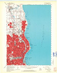
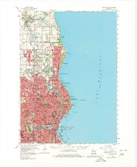
Editions of this 1958 Milwaukee Map
3 editions found
Other maps of this area

1891 · Bayview
USGS Topo · 1:62,500

1891 · Muskego
USGS Topo · 1:62,500

1892 · Milwaukee
USGS Topo · 1:62,500

1892 · Waukesha
USGS Topo · 1:62,500

1892 · Port Washington
USGS Topo · 1:62,500

1901 · Milwaukee
USGS Topo · 1:62,500

1901 · Waukesha
USGS Topo · 1:62,500

1901 · Bayview
USGS Topo · 1:62,500

1901 · Muskego
USGS Topo · 1:62,500

1904 · West Bend
USGS Topo · 1:62,500