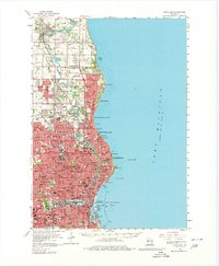
1958 Map of Milwaukee
USGS Topo · Published 1980About this map
The Milwaukee River carves a winding path south toward the industrial heart of the city in this late 1950s survey. The landscape transitions from the dense urban grid of Milwaukee and Wauwatosa to the developing suburbs of Whitefish Bay and River Hills. Along the lakefront, the map captures the extensive harbor works at Jones Island and the broad reach of Milwaukee Bay. Major landmarks of the era include County Stadium, the Univ of Wis at Milwaukee, and prominent burial grounds like Forest Home Cem and Graceland Cem. The rail-dominated economy is evident in the sprawling tracks of the Milwaukee Road and Chicago and North Western, which service the manufacturing corridors along the Menomonee River and Kinnickinnic River.
Find a feature on this map
131 named features on this map. Tap any name to fly to it.
Don’t see what you’re looking for? This feature index may not catch every label — zoom into the map to look around manually.
Map Details
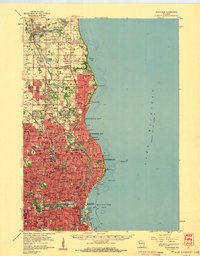
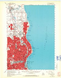
Editions of this 1958 Milwaukee Map
3 editions found
Other maps of this area

1891 · Bayview
USGS Topo · 1:62,500

1891 · Muskego
USGS Topo · 1:62,500

1892 · Milwaukee
USGS Topo · 1:62,500

1892 · Waukesha
USGS Topo · 1:62,500

1892 · Port Washington
USGS Topo · 1:62,500

1901 · Milwaukee
USGS Topo · 1:62,500

1901 · Waukesha
USGS Topo · 1:62,500

1901 · Bayview
USGS Topo · 1:62,500

1901 · Muskego
USGS Topo · 1:62,500

1904 · West Bend
USGS Topo · 1:62,500