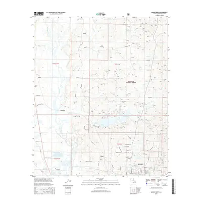
2015 Map of Minden North
USGS Topo · Published 2015About this map
Minden and its northern surroundings in Webster Parish are defined by the convergence of pine forest and significant water systems. Portions of the Kisatchie National Forest dominate the central and eastern sections, providing a backdrop for Upper Caney Lake and Lower Caney Lake, which form the centerpiece of the Caney Lakes recreational area. The western edge of the map is marked by the winding path of Bayou Dorcheat, which flows southward through a landscape dotted with small, long-standing communities such as Grove, Dorcheat, and Long Springs.
Find a feature on this map
90 named features on this map. Tap any name to fly to it.
Don’t see what you’re looking for? This feature index may not catch every label — zoom into the map to look around manually.
Map Details
Editions of this 2015 Minden North Map
This is the sole edition of this map. No revisions or reprints were ever made.
Other maps of this area

1922 · Sarepta
USGS Topo · 1:62,500

1924 · Sarepta
USGS Topo · 1:62,500

1947 · Minden
USGS Topo · 1:62,500

1949 · Minden
USGS Topo · 1:62,500

1949 · Gibsland
USGS Topo · 1:62,500

1950 · Gibsland
USGS Topo · 1:62,500

1952 · Homer
USGS Topo · 1:62,500

1955 · Shreveport
USGS Topo · 1:250,000

1956 · Shreveport
USGS Topo · 1:250,000

1956 · Sarepta
USGS Topo · 1:62,500