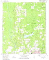
1981 Map of Minden North
USGS Topo · Published 1982About this map
Kisatchie National Forest dominates the landscape north of Minden, where the winding course of Bayou Dorcheat meets a series of inland waterways. The 1980s terrain is defined by the intersection of natural features like Caney Lakes and Cow Creek with heavy industry, evidenced by numerous Gravel Pits and the Louisiana and Arkansas rail line. This map is a significant resource for those tracing local family histories, as it identifies numerous rural landmarks including the Shady Grove Cems, Whispering Pines Ch, and New Hope Cem. The presence of the Minden-Webster Airport and the Minden-Webster Voc-Tech Sch on the northern edge of the city illustrates the infrastructure of Webster Parish during this period of growth. Small settlements such as Gilark and landmarks like the Pine Hills Country Club provide clear points of reference for regional researchers.
Find a feature on this map
40 named features on this map. Tap any name to fly to it.
Don’t see what you’re looking for? This feature index may not catch every label — zoom into the map to look around manually.
Map Details
Editions of this 1981 Minden North Map
2 editions found
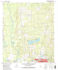
Other maps of this area

1922 · Sarepta
USGS Topo · 1:62,500

1924 · Sarepta
USGS Topo · 1:62,500

1947 · Minden
USGS Topo · 1:62,500

1949 · Minden
USGS Topo · 1:62,500

1949 · Gibsland
USGS Topo · 1:62,500

1950 · Gibsland
USGS Topo · 1:62,500

1952 · Homer
USGS Topo · 1:62,500

1955 · Shreveport
USGS Topo · 1:250,000

1956 · Shreveport
USGS Topo · 1:250,000

1956 · Sarepta
USGS Topo · 1:62,500