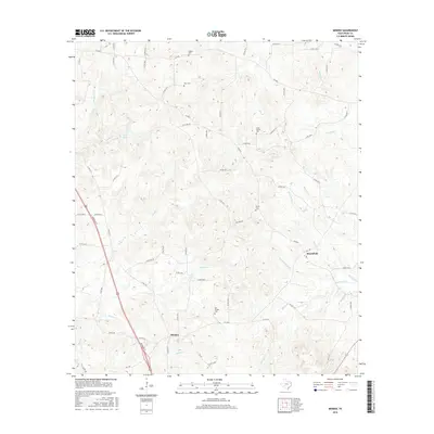
2016 Map of Minden
USGS Topo · Published 2016About this map
Old Minden Cem and several family burial grounds anchor this rural landscape in southeastern Rusk County. The settlement of Brachfield serves as a small population center amidst a dense network of country roads such as Zion Hill Rd and FM 1798. The terrain is defined by a dendritic drainage system, where Owens Creek and Minden Creek feed into larger waterways like Murvaul Creek. To the north, the headwaters of Irons Bayou and the small impoundment of Lake Marr illustrate the local hydrology. This 2016 survey reflects a contemporary view of the region, where modern road designations intersect with older land use patterns. Genealogists will find particular value in the scattered locations of the Hughes, Hunt, Little Family, and Welch cemeteries, which preserve the names of early resident families across this East Texas woodland and pastureland.
Find a feature on this map
70 named features on this map. Tap any name to fly to it.
Don’t see what you’re looking for? This feature index may not catch every label — zoom into the map to look around manually.
Map Details
Editions of this 2016 Minden Map
This is the sole edition of this map. No revisions or reprints were ever made.
Other maps of this area

1935 · Henderson
USGS Topo · 1:48,000

1939 · Henderson
USGS Topo · 1:62,500

1943 · Cushing
USGS Topo · 1:62,500

1945 · Cushing
USGS Topo · 1:62,500

1953 · Palestine
USGS Topo · 1:250,000

1956 · Tyler
USGS Topo · 1:250,000

1957 · Palestine
USGS Topo · 1:250,000

1960 · Minden
USGS Topo · 1:62,500

1960 · Mount Enterprise
USGS Topo · 1:62,500

1973 · Henderson
USGS Topo · 1:24,000