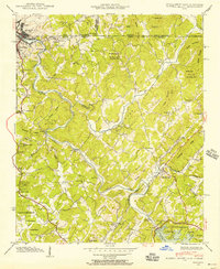
1941 Map of Mineral Bluff
USGS Topo · Published 1956About this map
The Toccoa River winds through this 1941 field examination of the tri-state corner where Georgia, Tennessee, and North Carolina converge. The industrial and community activity is centered in the north near Copperhill and McCaysville, while the Louisville and Nashville Railroad provides the primary transport corridor through the Hot House Valley. Rural life is documented through numerous family-named landmarks and small spiritual hubs, including the Galloway Cem, Shady Grove Ch, and Painwill Sch.
Find a feature on this map
67 named features on this map. Tap any name to fly to it.
Don’t see what you’re looking for? This feature index may not catch every label — zoom into the map to look around manually.
Map Details
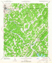
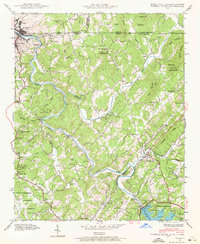
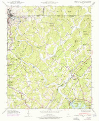
Editions of this 1941 Mineral Bluff Map
4 editions found
Other maps of this area

1888 · Ellijay
USGS Topo · 1:125,000

1892 · Ellijay
USGS Topo · 1:125,000

1893 · Murphy
USGS Topo · 1:125,000

1898 · Ellijay
USGS Topo · 1:125,000

1911 · Ellijay
USGS Topo · 1:125,000

1914 · Murphy
USGS Topo · 1:125,000

1934 · Persimmon Creek
USGS Topo · 1:24,000

1934 · Murphy
USGS Topo · 1:48,000

1935 · Epworth
USGS Topo · 1:24,000

1935 · Mineral Bluff
USGS Topo · 1:24,000