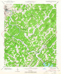
1941 Map of Mineral Bluff
USGS Topo · Published 1965About this map
The Toccoa River anchors this 1941 landscape at the triple-border of Georgia, Tennessee, and North Carolina. The industrial and transportation hub of Copperhill and McCaysville dominates the northwestern corner, where the Louisville and Nashville railroad follows the river's edge toward Mineral Bluff. This era shows a community deeply integrated with the land, marked by numerous family burial grounds like Douthit Cem and Galloway Cem, and rural centers such as Hothouse and Morganton. The southern portion of the sheet reveals the early impoundment of Blue Ridge Lake behind the Blue Ridge Dam, a transformative TVA project of the time. Local social life is mapped through several landmarks, including the CCC Camp 3467 and the Plainview Sch, alongside numerous country churches like Shady Grove Ch and Prospect Ch.
Find a feature on this map
61 named features on this map. Tap any name to fly to it.
Don’t see what you’re looking for? This feature index may not catch every label — zoom into the map to look around manually.
Map Details
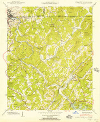
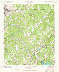
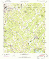
Editions of this 1941 Mineral Bluff Map
4 editions found
Other maps of this area

1888 · Ellijay
USGS Topo · 1:125,000

1892 · Ellijay
USGS Topo · 1:125,000

1893 · Murphy
USGS Topo · 1:125,000

1898 · Ellijay
USGS Topo · 1:125,000

1911 · Ellijay
USGS Topo · 1:125,000

1914 · Murphy
USGS Topo · 1:125,000

1934 · Persimmon Creek
USGS Topo · 1:24,000

1934 · Murphy
USGS Topo · 1:48,000

1935 · Epworth
USGS Topo · 1:24,000

1935 · Mineral Bluff
USGS Topo · 1:24,000