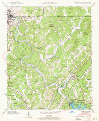
1941 Map of Mineral Bluff
USGS Topo · Published 1972About this map
Hot House Valley and the winding Toccoa River dominate this 1941 landscape, which straddles the borders of Georgia, Tennessee, and North Carolina. The mountain terrain is heavily defined by infrastructure of the era, from the Blue Ridge Dam and Intake at Blue Ridge Lake to the Louisville and Nashville railroad winding through the river gaps. Small rural communities like Mineral Bluff and McCaysville serve as local hubs, while scattered landmarks such as CCC Camp 3467 reflect federal activity in the Chattahoochee National Forest.
Find a feature on this map
66 named features on this map. Tap any name to fly to it.
Don’t see what you’re looking for? This feature index may not catch every label — zoom into the map to look around manually.
Map Details
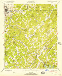
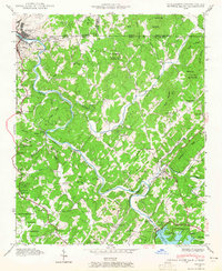
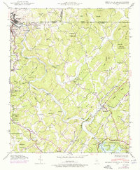
Editions of this 1941 Mineral Bluff Map
4 editions found
Other maps of this area

1888 · Ellijay
USGS Topo · 1:125,000

1892 · Ellijay
USGS Topo · 1:125,000

1893 · Murphy
USGS Topo · 1:125,000

1898 · Ellijay
USGS Topo · 1:125,000

1911 · Ellijay
USGS Topo · 1:125,000

1914 · Murphy
USGS Topo · 1:125,000

1934 · Persimmon Creek
USGS Topo · 1:24,000

1934 · Murphy
USGS Topo · 1:48,000

1935 · Epworth
USGS Topo · 1:24,000

1935 · Mineral Bluff
USGS Topo · 1:24,000