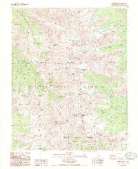
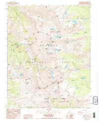
1988 Map of Mineral King
USGS Topo · Published 1988About this map
The high alpine valley of Mineral King serves as the focal point for this 1980s survey, illustrating the area's transition from a nineteenth-century mining hub to a protected wilderness within Sequoia National Park. Evidence of the district’s silver and gold prospecting history is scattered across the high ridges, including the Empire Mine, Lady Franklin Mine, and the White Chief Mine. The map specifically identifies several industrial remnants such as the Empire Mill (Ruins) and Crabtree Cabin (Ruins), providing a detailed spatial record of former human activity in these remote elevations. The terrain is dominated by the Great Western Divide, with drainage flowing through the East Fork Kaweah River. Dozens of high-altitude lakes, from the Monarch Lakes to the Franklin Lakes, are positioned along steep passes like Sawtooth Pass and Farewell Gap, which connect the valley to the Golden Trout Wilderness and Sequoia National Forest.
Find a feature on this map
78 named features on this map. Tap any name to fly to it.
Don’t see what you’re looking for? This feature index may not catch every label — zoom into the map to look around manually.
Map Details
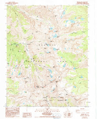
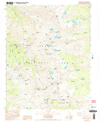
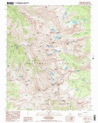
Editions of this 1988 Mineral King Map
5 editions found
Other maps of this area

1903 · Tehipite
USGS Topo · 1:125,000

1904 · Kaweah
USGS Topo · 1:125,000

1905 · Tehipite
USGS Topo · 1:125,000

1905 · Olancha
USGS Topo · 1:125,000

1907 · Olancha
USGS Topo · 1:125,000

1907 · Mt. Whitney
USGS Topo · 1:125,000

1909 · Kaweah
USGS Topo · 1:125,000

1919 · Mt. Whitney
USGS Topo · 1:125,000

1937 · Mt. Whitney
USGS Topo · 1:125,000

1937 · Kaweah
USGS Topo · 1:125,000