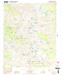
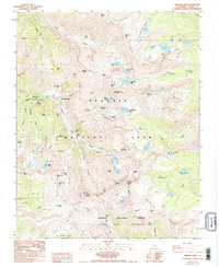
1988 Map of Mineral King
USGS Topo · Published 1994About this map
Mineral King serves as the focal point of this high-altitude survey, situated where the East Fork Kaweah River begins its descent. The map documents the area's transition from a 19th-century mining district to a protected wilderness within Sequoia National Park. Evidence of the mining era remains visible through labeled sites like the Lady Franklin Mine, Chihuahua Mine, and the Empire Mill (Ruins) located near Empire Mountain.
Find a feature on this map
73 named features on this map. Tap any name to fly to it.
Don’t see what you’re looking for? This feature index may not catch every label — zoom into the map to look around manually.
Map Details
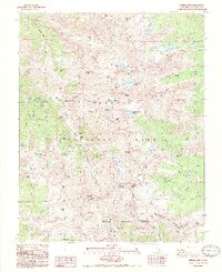
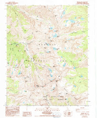
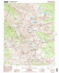
Editions of this 1988 Mineral King Map
5 editions found
Other maps of this area

1903 · Tehipite
USGS Topo · 1:125,000

1904 · Kaweah
USGS Topo · 1:125,000

1905 · Tehipite
USGS Topo · 1:125,000

1905 · Olancha
USGS Topo · 1:125,000

1907 · Olancha
USGS Topo · 1:125,000

1907 · Mt. Whitney
USGS Topo · 1:125,000

1909 · Kaweah
USGS Topo · 1:125,000

1919 · Mt. Whitney
USGS Topo · 1:125,000

1937 · Mt. Whitney
USGS Topo · 1:125,000

1937 · Kaweah
USGS Topo · 1:125,000