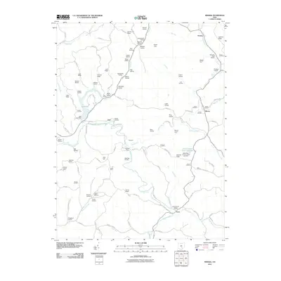
2010 Map of Mineral
USGS Topo · Published 2010About this map
Hope Furnace stands as a primary historical landmark in this region of Vinton County, reflecting the area's industrial legacy amidst a landscape defined by deep hollows and high ridges. The terrain is a complex network of narrow drainages like Honeycomb Hollow and Fielder Hollow that feed into larger water bodies such as Lake Hope and Raccoon Creek. Small settlements including Moonville, Mineral, and Knox are connected by a web of township and county roads that wind through the hills.
Find a feature on this map
118 named features on this map. Tap any name to fly to it.
Don’t see what you’re looking for? This feature index may not catch every label — zoom into the map to look around manually.
Map Details
Editions of this 2010 Mineral Map
This is the sole edition of this map. No revisions or reprints were ever made.
Other maps of this area

1903 · Athens
USGS Topo · 1:62,500

1904 · Zaleski
USGS Topo · 1:62,500

1905 · Athens
USGS Topo · 1:62,500

1905 · Wilkesville
USGS Topo · 1:62,500

1907 · Pomeroy
USGS Topo · 1:62,500

1907 · Zaleski
USGS Topo · 1:62,500

1908 · Wilkesville
USGS Topo · 1:62,500

1947 · Columbus
USGS Topo · 1:250,000

1960 · Albany
USGS Topo · 1:24,000

1961 · Columbus
USGS Topo · 1:250,000