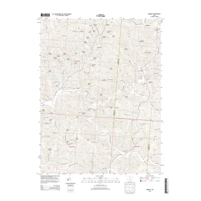
2013 Map of Mineral
USGS Topo · Published 2013About this map
Lake Hope State Park anchors this section of southeastern Ohio, where the drainage of Raccoon Creek and Hewett Fork carves through a landscape defined by deep hollows and narrow ridges. The small settlements of Mineral, Hope, and Moonville represent the historic community hubs of the area. The terrain is notably dense with family and community burial grounds, including Pleasant Valley Cem, Howson Cem, and the Bethel Holiness Mission Cem.
Find a feature on this map
120 named features on this map. Tap any name to fly to it.
Don’t see what you’re looking for? This feature index may not catch every label — zoom into the map to look around manually.
Map Details
Editions of this 2013 Mineral Map
This is the sole edition of this map. No revisions or reprints were ever made.
Other maps of this area

1903 · Athens
USGS Topo · 1:62,500

1904 · Zaleski
USGS Topo · 1:62,500

1905 · Athens
USGS Topo · 1:62,500

1905 · Wilkesville
USGS Topo · 1:62,500

1907 · Pomeroy
USGS Topo · 1:62,500

1907 · Zaleski
USGS Topo · 1:62,500

1908 · Wilkesville
USGS Topo · 1:62,500

1947 · Columbus
USGS Topo · 1:250,000

1960 · Albany
USGS Topo · 1:24,000

1961 · Columbus
USGS Topo · 1:250,000