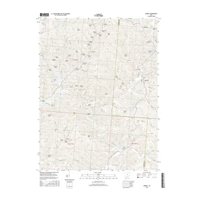
2016 Map of Mineral
USGS Topo · Published 2016About this map
Moonville and the surrounding woodlands of the Vinton and Athens county line are defined by a complex network of hollows and ridges characteristic of southeastern Ohio. The terrain is deeply incised by the Hewett Fork and Raccoon Creek, with the prominent Starrett Ridge and Atkinson Ridge rising above the valley floor. The map highlights the area's legacy of small rural communities and family burial grounds, including the Bethel Holiness Mission Cem and Brooks Cem.
Find a feature on this map
159 named features on this map. Tap any name to fly to it.
Don’t see what you’re looking for? This feature index may not catch every label — zoom into the map to look around manually.
Map Details
Editions of this 2016 Mineral Map
This is the sole edition of this map. No revisions or reprints were ever made.
Other maps of this area

1903 · Athens
USGS Topo · 1:62,500

1904 · Zaleski
USGS Topo · 1:62,500

1905 · Athens
USGS Topo · 1:62,500

1905 · Wilkesville
USGS Topo · 1:62,500

1907 · Pomeroy
USGS Topo · 1:62,500

1907 · Zaleski
USGS Topo · 1:62,500

1908 · Wilkesville
USGS Topo · 1:62,500

1947 · Columbus
USGS Topo · 1:250,000

1960 · Albany
USGS Topo · 1:24,000

1961 · Columbus
USGS Topo · 1:250,000