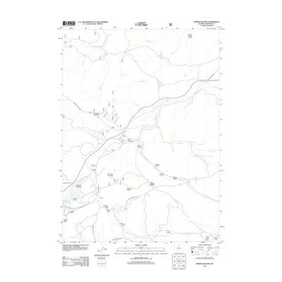
2012 Map of Miners Delight
USGS Topo · Published 2012About this map
Miners Delight and the surrounding high country of Fremont County are defined by a complex network of gulches and water management systems. The terrain is marked by significant features like Peabody Ridge and Limestone Mountain, while the hydrology is controlled through natural runs and the man-made Tweed Ditch. This landscape reflects a history of high-altitude land use, evidenced by the Beaver Creek Counting Pens and the presence of the South Pass Ski Tow near Goldman Meadows.
Find a feature on this map
44 named features on this map. Tap any name to fly to it.
Don’t see what you’re looking for? This feature index may not catch every label — zoom into the map to look around manually.
Map Details
Editions of this 2012 Miners Delight Map
This is the sole edition of this map. No revisions or reprints were ever made.
Other maps of this area

1953 · Gravel Spring
USGS Topo · 1:24,000

1953 · Radium Springs
USGS Topo · 1:24,000

1953 · Atlantic City
USGS Topo · 1:24,000

1953 · Fossil Hill
USGS Topo · 1:24,000

1953 · Louis Lake
USGS Topo · 1:24,000

1953 · South Pass City
USGS Topo · 1:24,000

1953 · Weiser Pass
USGS Topo · 1:24,000

1954 · Wolf Point
USGS Topo · 1:24,000

1954 · Miners Delight
USGS Topo · 1:24,000

1955 · Lander
USGS Topo · 1:250,000