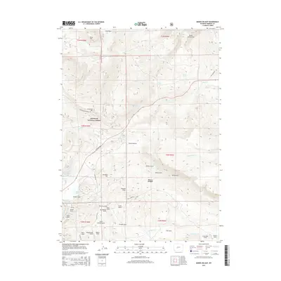
2015 Map of Miners Delight
USGS Topo · Published 2015About this map
Miners Delight sits at the heart of this high-altitude landscape, where the southern reaches of the Shoshone National Forest meet a complex network of drainages and ridges. The map reveals an intricate system of gulches, including Big Atlantic Gulch, Arasta Gulch, and Beer Garden Gulch, which speak to the area's gold mining heritage. These features are bounded by significant elevations such as Young Mountain and Peabody Ridge. Human movement through this terrain is defined by historic corridors like the Fort Stambaugh Loop and Atlantic City Rd, while water management is evidenced by the Tweed Ditch and numerous springs like Omera Spring. The abundance of named gulches and basins, from Young Basin to Irish Gulch, provides a detailed record of the local topography and the nomenclature left by early prospectors and settlers.
Find a feature on this map
57 named features on this map. Tap any name to fly to it.
Don’t see what you’re looking for? This feature index may not catch every label — zoom into the map to look around manually.
Map Details
Editions of this 2015 Miners Delight Map
This is the sole edition of this map. No revisions or reprints were ever made.
Other maps of this area

1953 · Gravel Spring
USGS Topo · 1:24,000

1953 · Radium Springs
USGS Topo · 1:24,000

1953 · Atlantic City
USGS Topo · 1:24,000

1953 · Fossil Hill
USGS Topo · 1:24,000

1953 · Louis Lake
USGS Topo · 1:24,000

1953 · South Pass City
USGS Topo · 1:24,000

1953 · Weiser Pass
USGS Topo · 1:24,000

1954 · Wolf Point
USGS Topo · 1:24,000

1954 · Miners Delight
USGS Topo · 1:24,000

1955 · Lander
USGS Topo · 1:250,000