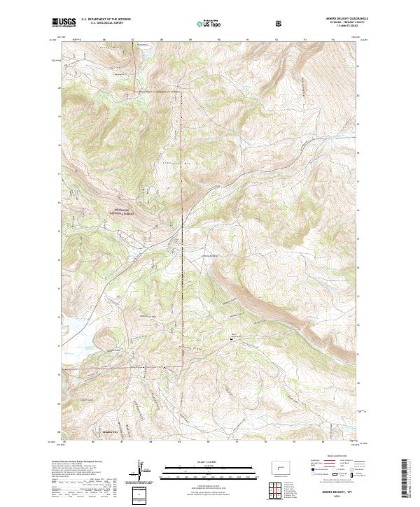
2021 Map of Miners Delight
USGS Topo · Published 2021About this map
Atlantic City serves as the focal point of this high-elevation landscape in the Shoshone National Forest, where the transition from mountain slopes to complex gulch systems reveals a history of resource extraction. The southern portion of the sheet is densely etched with named drainages such as Beer Garden Gulch, Placerita Gulch, and Arasta Gulch, names that strongly suggest the region's mining heritage. Cultural markers like the Miners Delight Cem and the Fort Stambaugh Loop road provide tangible links to the 19th-century frontier operations and early settlements that once defined this part of Fremont County.
Find a feature on this map
61 named features on this map. Tap any name to fly to it.
Don’t see what you’re looking for? This feature index may not catch every label — zoom into the map to look around manually.
Map Details
Editions of this 2021 Miners Delight Map
This is the sole edition of this map. No revisions or reprints were ever made.
Other maps of this area

1953 · Gravel Spring
USGS Topo · 1:24,000

1953 · Radium Springs
USGS Topo · 1:24,000

1953 · Atlantic City
USGS Topo · 1:24,000

1953 · Fossil Hill
USGS Topo · 1:24,000

1953 · Louis Lake
USGS Topo · 1:24,000

1953 · South Pass City
USGS Topo · 1:24,000

1953 · Weiser Pass
USGS Topo · 1:24,000

1954 · Wolf Point
USGS Topo · 1:24,000

1954 · Miners Delight
USGS Topo · 1:24,000

1955 · Lander
USGS Topo · 1:250,000