Loading...
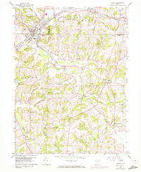
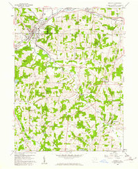
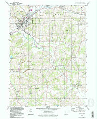
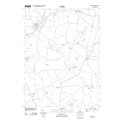
Loading map...1960 Map of Minerva
USGS Topo · Published 1972About this map
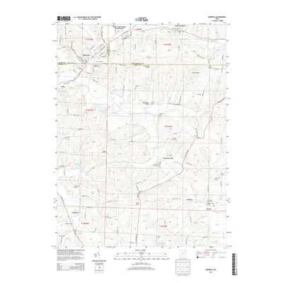
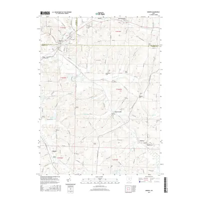
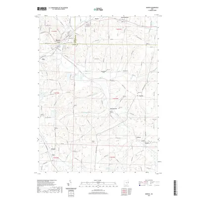
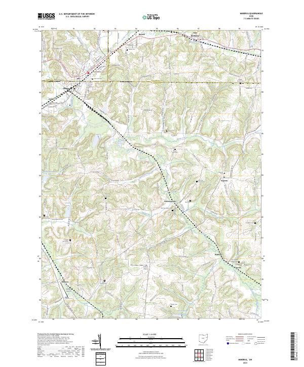
Minerva serves as the primary hub of this landscape, situated at the confluence of Stark, Carroll, and Columbiana counties. The town’s industrial character is marked by the Penn Central rail lines, a sewage disposal plant, and nearby extractive sites like the sandpit to the south. Moving east and south, the terrain transitions into a more rural, rolling agricultural pattern defined by named runs and valleys such as the Shenandoah Valley and Stony Batter.
Find a feature on this map
73 named features on this map. Tap any name to fly to it.
Don’t see what you’re looking for? This feature index may not catch every label — zoom into the map to look around manually.
Map Details
Date Portrayed1960
Date Published1972
PublisherU.S. Geological Survey
Map TypeTopographic
Scale1:24,000
Physical Dimensions22.1 x 27 inches
Editions of this 1960 Minerva Map
2 editions found
Historical Maps of Minerva Through Time
7 maps found
Featured Locations
- Minerva, OH
- Harrison Township, OH
- Augusta, Augusta Township
- Specht, Augusta Township
- Pekin, Brown Township
Source Details
SourceU.S. Geological Survey
CopyrightPublic Domain