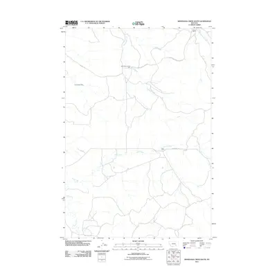
2011 Map of Minnehaha Creek South
USGS Topo · Published 2011About this map
Minnehaha Creek winds through this Treasure County landscape, defining a rural Montana terrain dominated by water management and ranching operations. The presence of Yellow Minni Stone Dam and Yellow Sarpy Dam highlights the critical role of water storage in this arid region. The map documents established family holdings such as Wilson Ranch in the north and Hays Ranch near Horse Creek. Transportation across the drainage basins is facilitated by a network of gravel and unimproved roads, including Wilson Rd and Castle Rock Rd. The hydrology is complex, with the South Fork Beaver Creek and East Fork Sarpy Creek carving distinct paths through the coulees, providing essential resources for the cattle ranching that has long characterized this part of the state.
Find a feature on this map
16 named features on this map. Tap any name to fly to it.
Don’t see what you’re looking for? This feature index may not catch every label — zoom into the map to look around manually.
Map Details
Editions of this 2011 Minnehaha Creek South Map
This is the sole edition of this map. No revisions or reprints were ever made.
Other maps of this area

1954 · Hardin
USGS Topo · 1:250,000

1954 · Forsyth
USGS Topo · 1:250,000

1957 · Hardin
USGS Topo · 1:250,000

1957 · Forsyth
USGS Topo · 1:250,000

1958 · Forsyth
USGS Topo · 1:250,000

1958 · Hardin
USGS Topo · 1:250,000

1971 · Mc Clure Creek
USGS Topo · 1:24,000

1971 · Griffin Coulee SW
USGS Topo · 1:24,000
1971 · Sarpy School
USGS Topo · 1:24,000

1972 · Minnehaha Creek South
USGS Topo · 1:24,000