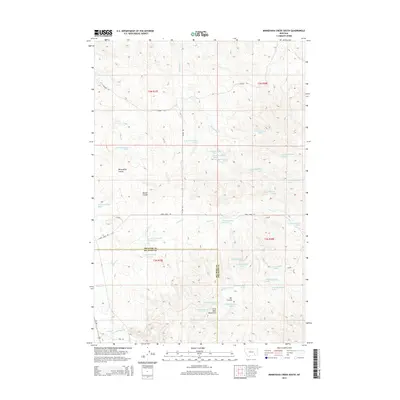
2014 Map of Minnehaha Creek South
USGS Topo · Published 2014About this map
The Little Wolf Mountains anchor the southern reach of this landscape along the border of Treasure and Big Horn counties. This 2014 survey captures a drainage-rich section of the Montana prairie, defined by the winding paths of Minnehaha Creek and East Beaver Creek. The terrain is deeply etched by numerous coulees, including Willoughby Coulee and Dawes Coulee, which serve as natural landmarks across the grazing land.
Find a feature on this map
44 named features on this map. Tap any name to fly to it.
Don’t see what you’re looking for? This feature index may not catch every label — zoom into the map to look around manually.
Map Details
Editions of this 2014 Minnehaha Creek South Map
This is the sole edition of this map. No revisions or reprints were ever made.
Other maps of this area

1954 · Hardin
USGS Topo · 1:250,000

1954 · Forsyth
USGS Topo · 1:250,000

1957 · Hardin
USGS Topo · 1:250,000

1957 · Forsyth
USGS Topo · 1:250,000

1958 · Forsyth
USGS Topo · 1:250,000

1958 · Hardin
USGS Topo · 1:250,000

1971 · Mc Clure Creek
USGS Topo · 1:24,000

1971 · Griffin Coulee SW
USGS Topo · 1:24,000
1971 · Sarpy School
USGS Topo · 1:24,000

1972 · Minnehaha Creek South
USGS Topo · 1:24,000