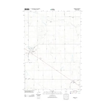
2013 Map of Minneota
USGS Topo · Published 2013About this map
Minneota and Ghent serve as the primary hubs in this Lyon County landscape, connected by the diagonal corridor of MN-68. The region is defined by a dense concentration of historical burial grounds, reflecting the deep heritage of early settlers. Notable sites include the Icelandic Cem in the northeast and the Josephson Family Cem, alongside the Old Hemnes Cem and Hemnes Cem to the southwest. The Yellow Medicine River and its S Br Yellow Medicine River provide the natural drainage for this prairie environment, supplemented by agricultural engineering like the County Ditch Number Sixtythree. This 2013 survey illustrates the enduring grid system of rural roads, such as 150th Ave and 390th St, which have structured land use and property boundaries for generations.
Find a feature on this map
42 named features on this map. Tap any name to fly to it.
Don’t see what you’re looking for? This feature index may not catch every label — zoom into the map to look around manually.
Map Details
Editions of this 2013 Minneota Map
This is the sole edition of this map. No revisions or reprints were ever made.
Other maps of this area

1953 · Watertown
USGS Topo · 1:250,000

1953 · New Ulm
USGS Topo · 1:250,000

1957 · New Ulm
USGS Topo · 1:250,000

1958 · New Ulm
USGS Topo · 1:250,000

1958 · Watertown
USGS Topo · 1:250,000

1963 · Gislason Lake
USGS Topo · 1:24,000

1963 · Lynd
USGS Topo · 1:24,000

1963 · Marshall
USGS Topo · 1:24,000

1967 · New Ulm
USGS Topo · 1:250,000

1967 · Minneota
USGS Topo · 1:24,000