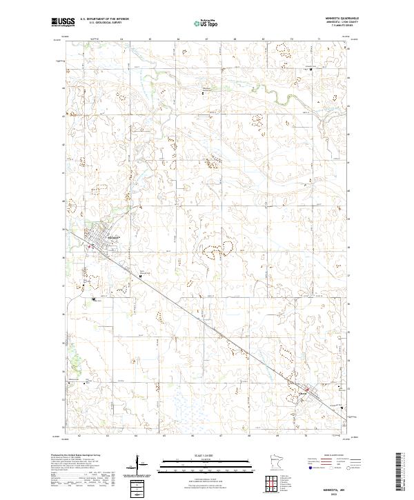
2022 Map of Minneota
USGS Topo · Published 2022About this map
Minneota and Ghent serve as the primary hubs in this agricultural landscape of Lyon County, where the meandering Yellow Medicine River and its S Br Yellow Medicine River carve across the prairie. The region is notable for its concentration of heritage burial grounds that reflect the area's immigrant roots, including the Icelandic Cem in the northeast and the Josephson Family Cem near the riverbanks.
Find a feature on this map
65 named features on this map. Tap any name to fly to it.
Don’t see what you’re looking for? This feature index may not catch every label — zoom into the map to look around manually.
Map Details
Editions of this 2022 Minneota Map
This is the sole edition of this map. No revisions or reprints were ever made.
Other maps of this area

1953 · Watertown
USGS Topo · 1:250,000

1953 · New Ulm
USGS Topo · 1:250,000

1957 · New Ulm
USGS Topo · 1:250,000

1958 · New Ulm
USGS Topo · 1:250,000
1958 · Watertown
USGS Topo · 1:250,000
1963 · Gislason Lake
USGS Topo · 1:24,000
1963 · Lynd
USGS Topo · 1:24,000
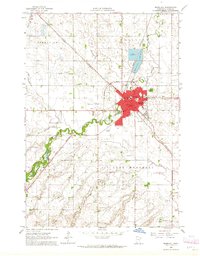
1963 · Marshall
USGS Topo · 1:24,000
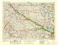
1967 · New Ulm
USGS Topo · 1:250,000
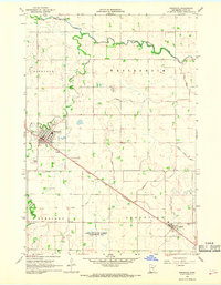
1967 · Minneota
USGS Topo · 1:24,000