Loading...
Loading map...2022 Map of Minnesota Lake
USGS Topo · Published 2022About this map
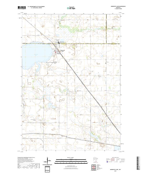
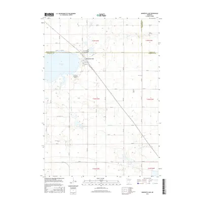
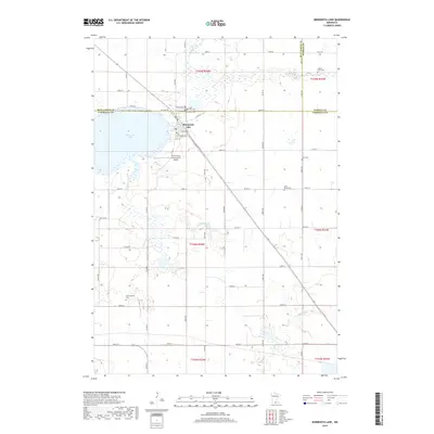
Minnesota Lake serves as the focal point for this agrarian landscape at the junction of Blue Earth and Faribault counties. The settlement of Minnesota Lake sits on the eastern shore of its namesake water body, where the local street grid including Main St N and E Lake Ave gives way to a sprawling network of section-line roads. This area is notably dense with small rural burial grounds, suggesting a long-standing pattern of family and parish-based settlement.
Find a feature on this map
55 named features on this map. Tap any name to fly to it.
Don’t see what you’re looking for? This feature index may not catch every label — zoom into the map to look around manually.
Map Details
Date Portrayed2022
Date Published2022
PublisherU.S. Geological Survey
Map TypeTopographic
Scale1:24,000
Physical Dimensions24 x 29 inches
Editions of this 2022 Minnesota Lake Map
This is the sole edition of this map. No revisions or reprints were ever made.
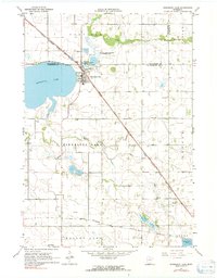
Historical Maps of Minnesota Lake Through Time
6 maps found
Featured Locations
Source Details
SourceU.S. Geological Survey
CopyrightPublic Domain