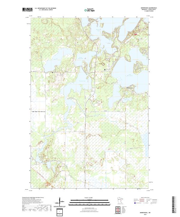
2022 Map of Minnewawa
USGS Topo · Published 2022About this map
The settlement of Minnewawa serves as a small hub in this lake-rich landscape of Aitkin County, where the transition between open water and wetland is bridged by a dense network of local roads. Resting near the shores of Lake Minnewawa, the community is surrounded by a complex hydrological system including Flowage Lake, Rat Lake, and Sandy River Lake. The terrain is shaped by the Sandy River and Minnewawa Cr, which weave through the townships of t49n r24w and t49n r23w. For local historians and genealogists, the map preserves the locations of Lakeview Cem and Shamrock Cem, along with infrastructure like the DNR Public Acc. The intricate layout of lakeside drives, such as Tedna Dr and Koko-Kong Rd, reveals the growth of residential and recreational development along the northern reaches of Big Sandy Lake.
Find a feature on this map
67 named features on this map. Tap any name to fly to it.
Don’t see what you’re looking for? This feature index may not catch every label — zoom into the map to look around manually.
Map Details
Editions of this 2022 Minnewawa Map
This is the sole edition of this map. No revisions or reprints were ever made.
Other maps of this area

1953 · Duluth
USGS Topo · 1:250,000

1958 · Duluth
USGS Topo · 1:250,000

1969 · Lawler
USGS Topo · 1:24,000

1970 · Kimberly
USGS Topo · 1:24,000

1970 · Mc Gregor
USGS Topo · 1:24,000

1970 · Tamarack
USGS Topo · 1:24,000

1970 · Palisade
USGS Topo · 1:24,000

1970 · Sanders Lake
USGS Topo · 1:24,000

1970 · Balsam
USGS Topo · 1:24,000

1970 · Libby
USGS Topo · 1:24,000