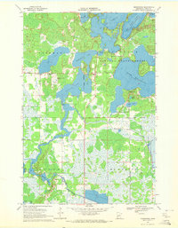
1970 Map of Minnewawa
USGS Topo · Published 1972About this map
The labyrinthine shoreline of Big Sandy Lake and Lake Minnewawa dominates this Aitkin County landscape, where the waters of the Sandy River thread through extensive wetlands. This 1970 snapshot of the region reveals a transition from the protected woodlands of Savanna State Forest to more developed recreational areas. Local civic and social life is anchored by features such as Grace Ch, the Savanna Fairways Golf Club, and the Lakeview Cem, alongside the small settlement of Minnewawa.
Find a feature on this map
29 named features on this map. Tap any name to fly to it.
Don’t see what you’re looking for? This feature index may not catch every label — zoom into the map to look around manually.
Map Details
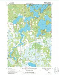
Editions of this 1970 Minnewawa Map
2 editions found
Other maps of this area

1953 · Duluth
USGS Topo · 1:250,000

1958 · Duluth
USGS Topo · 1:250,000

1969 · Lawler
USGS Topo · 1:24,000

1970 · Kimberly
USGS Topo · 1:24,000

1970 · Mc Gregor
USGS Topo · 1:24,000

1970 · Tamarack
USGS Topo · 1:24,000

1970 · Palisade
USGS Topo · 1:24,000

1970 · Sanders Lake
USGS Topo · 1:24,000

1970 · Balsam
USGS Topo · 1:24,000

1970 · Libby
USGS Topo · 1:24,000