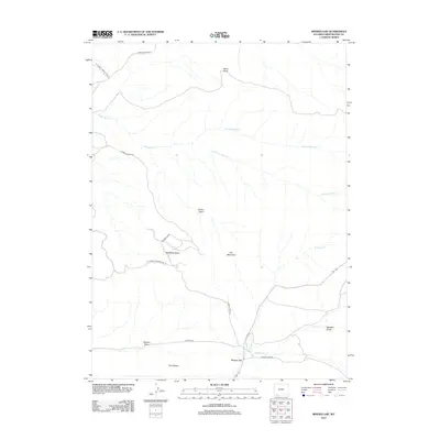
2012 Map of Minnies Gap
USGS Topo · Published 2012About this map
Iron Mountain and Minnies Gap anchor this high-elevation landscape in Sweetwater County, where the topography is defined by a network of basins and ephemeral drainage systems. The northern portion of the quadrangle is dominated by Sand Knoll and the winding course of Middle Marsh Cr, which feeds into the complex marsh systems of Jarvies Marsh Cr and Krause Marsh Cr. This 2012 survey illustrates the modern road network designed for access through this arid terrain, featuring Flaming Gorge Rd and Canyon Rd as primary thoroughfares.
Find a feature on this map
19 named features on this map. Tap any name to fly to it.
Don’t see what you’re looking for? This feature index may not catch every label — zoom into the map to look around manually.
Map Details
Editions of this 2012 Minnies Gap Map
This is the sole edition of this map. No revisions or reprints were ever made.
Other maps of this area

1885 · Ashley
USGS Topo · 1:250,000

1906 · Marsh Peak
USGS Topo · 1:125,000

1908 · Marsh Peak
USGS Topo · 1:125,000

1952 · Dutch John Mtn
USGS Topo · 1:24,000

1952 · Goslin Mtn
USGS Topo · 1:24,000

1952 · Flaming Gorge
USGS Topo · 1:24,000

1954 · Vernal
USGS Topo · 1:250,000

1954 · Rock Springs
USGS Topo · 1:250,000

1957 · Currant Creek Ranch
USGS Topo · 1:62,500

1958 · Vernal
USGS Topo · 1:250,000