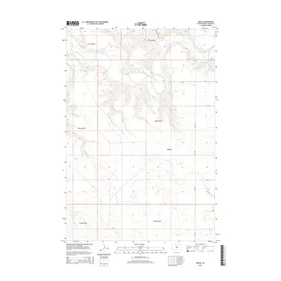
2015 Map of Miscol
USGS Topo · Published 2015About this map
The Miscol settlement anchors this stretch of the Great Plains in Corson County, where the high prairie begins to break toward the drainage basins of the north. The winding course of the Grand River dominates the northern terrain, creating a complex series of bluffs and river bends that contrast with the organized grid of the Public Land Survey System. Further south, the intermittent flow of Plum Cr cuts through the landscape, showing the drainage patterns essential to ranching in this part of South Dakota.
Find a feature on this map
14 named features on this map. Tap any name to fly to it.
Don’t see what you’re looking for? This feature index may not catch every label — zoom into the map to look around manually.
Map Details
Editions of this 2015 Miscol Map
This is the sole edition of this map. No revisions or reprints were ever made.
Other maps of this area

1953 · McIntosh
USGS Topo · 1:250,000

1956 · Miscol SW
USGS Topo · 1:24,000

1956 · Black Horse NE
USGS Topo · 1:24,000

1956 · Bullhead
USGS Topo · 1:24,000

1956 · Black Horse SE
USGS Topo · 1:24,000

1956 · Miscol SE
USGS Topo · 1:24,000

1956 · Miscol
USGS Topo · 1:24,000

1956 · Bullhead SW
USGS Topo · 1:24,000

1956 · Miscol NE
USGS Topo · 1:24,000

1958 · McIntosh
USGS Topo · 1:250,000