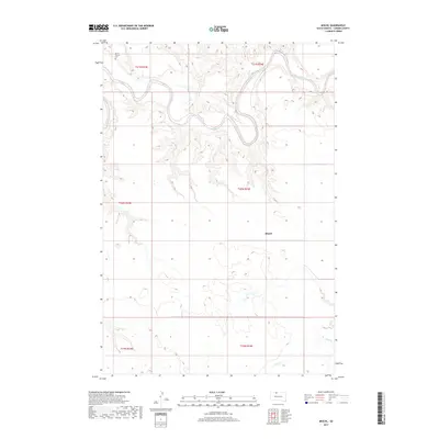
2017 Map of Miscol
USGS Topo · Published 2017About this map
The Grand River meanders sharply across this northern South Dakota landscape, carving deep loops through the terrain of the Miscol area. The settlement pattern is sparse, reflecting the rural character of Corson County in the 21st century. Near the river's path, the Brown Church stands alongside a small Cem, serving as a vital landmark for local genealogy and community history. To the south, the drainage of Plum Cr defines the lower reaches of the map. This topographic study captures the vast township and range divisions, from t21n r23e down to t19n r24e, illustrating how the land is structured around natural watercourses and few established settlements.
Find a feature on this map
11 named features on this map. Tap any name to fly to it.
Don’t see what you’re looking for? This feature index may not catch every label — zoom into the map to look around manually.
Map Details
Editions of this 2017 Miscol Map
This is the sole edition of this map. No revisions or reprints were ever made.
Other maps of this area

1953 · McIntosh
USGS Topo · 1:250,000

1956 · Miscol SW
USGS Topo · 1:24,000

1956 · Black Horse NE
USGS Topo · 1:24,000

1956 · Bullhead
USGS Topo · 1:24,000

1956 · Black Horse SE
USGS Topo · 1:24,000

1956 · Miscol SE
USGS Topo · 1:24,000

1956 · Miscol
USGS Topo · 1:24,000

1956 · Bullhead SW
USGS Topo · 1:24,000

1956 · Miscol NE
USGS Topo · 1:24,000

1958 · McIntosh
USGS Topo · 1:250,000