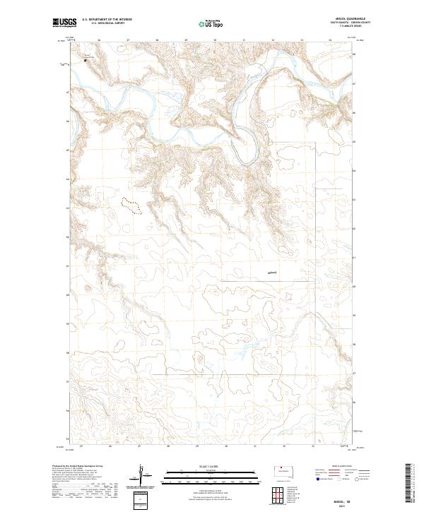
2021 Map of Miscol
USGS Topo · Published 2021About this map
The Grand River meanders across the northern reaches of this landscape, carving a series of deep loops into the prairie terrain of Corson County. Near the northwestern corner, the Brown Church Cem stands as a significant point of local history and genealogy, serving as a landmark for the families of this rural region. The topography is defined by the drainage patterns of both the river and Plum Cr, which flows through the southern section of the sheet. The small settlement of Miscol is positioned centrally among the vast township grids, including t20n r24e, illustrating the dispersed nature of habitation in this part of South Dakota. This modern survey by the U.S. Geological Survey details the relationship between the prairie plateaus and the watercourses that have shaped the agricultural and social layout of the area.
Find a feature on this map
11 named features on this map. Tap any name to fly to it.
Don’t see what you’re looking for? This feature index may not catch every label — zoom into the map to look around manually.
Map Details
Editions of this 2021 Miscol Map
This is the sole edition of this map. No revisions or reprints were ever made.
Other maps of this area

1953 · McIntosh
USGS Topo · 1:250,000

1956 · Miscol SW
USGS Topo · 1:24,000

1956 · Black Horse NE
USGS Topo · 1:24,000

1956 · Bullhead
USGS Topo · 1:24,000

1956 · Black Horse SE
USGS Topo · 1:24,000

1956 · Miscol SE
USGS Topo · 1:24,000

1956 · Miscol
USGS Topo · 1:24,000

1956 · Bullhead SW
USGS Topo · 1:24,000

1956 · Miscol NE
USGS Topo · 1:24,000

1958 · McIntosh
USGS Topo · 1:250,000