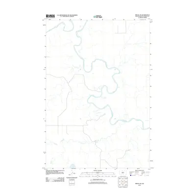
2012 Map of Miscol NE
USGS Topo · Published 2012About this map
The Grand River dominates this portion of Corson County, weaving a complex series of tight oxbows and meanders through the landscape. This 2012 survey by the U.S. Geological Survey reveals a sparsely developed region where natural drainage patterns define the geography. In the southern half of the quadrangle, Plum Cr flows eastward, joining the intricate network of coulees and draws that feed the river system. The map reflects a predominantly rural character with a minimalist road network, emphasizing the topographic relief and the winding watercourses that have shaped this part of the northern plains.
Find a feature on this map
2 named features on this map. Tap any name to fly to it.
Don’t see what you’re looking for? This feature index may not catch every label — zoom into the map to look around manually.
Map Details
Editions of this 2012 Miscol NE Map
This is the sole edition of this map. No revisions or reprints were ever made.
Other maps of this area

1953 · McIntosh
USGS Topo · 1:250,000

1956 · Miscol SW
USGS Topo · 1:24,000

1956 · Little Eagle SW
USGS Topo · 1:24,000

1956 · Bullhead
USGS Topo · 1:24,000

1956 · Miscol SE
USGS Topo · 1:24,000

1956 · Little Eagle NW
USGS Topo · 1:24,000

1956 · Miscol
USGS Topo · 1:24,000

1956 · Bullhead SW
USGS Topo · 1:24,000

1956 · Miscol NE
USGS Topo · 1:24,000

1958 · McIntosh
USGS Topo · 1:250,000