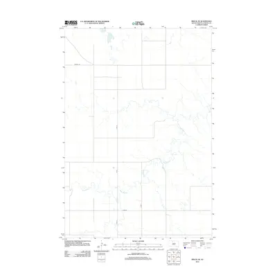
2012 Map of Miscol SE
USGS Topo · Published 2012About this map
High Bank Cr meanders across this rural South Dakota landscape within the Standing Rock Reservation, carving a distinct hydrological pattern through the prairie. The area is defined by a sparse but structured network of section roads, including Firesteel Rd and several county routes such as Co Rd-15 and Co Rd-44. These roads provide the primary evidence of human geography in this open country, where the natural drainage of the creek and its small tributaries dictates the flow of the terrain. The map captures the quiet, agricultural character of Corson County in the early 21st century, showing a landscape largely unchanged by modern development and focused on land management and traditional travel routes.
Find a feature on this map
6 named features on this map. Tap any name to fly to it.
Don’t see what you’re looking for? This feature index may not catch every label — zoom into the map to look around manually.
Map Details
Editions of this 2012 Miscol SE Map
This is the sole edition of this map. No revisions or reprints were ever made.
Other maps of this area

1953 · McIntosh
USGS Topo · 1:250,000

1956 · Miscol SW
USGS Topo · 1:24,000

1956 · Little Eagle SW
USGS Topo · 1:24,000

1956 · Miscol SE
USGS Topo · 1:24,000

1956 · Little Eagle NW
USGS Topo · 1:24,000

1956 · Miscol
USGS Topo · 1:24,000

1956 · Miscol NE
USGS Topo · 1:24,000

1958 · McIntosh
USGS Topo · 1:250,000

1975 · Glencross
USGS Topo · 1:24,000

1978 · Brewer Butte
USGS Topo · 1:24,000