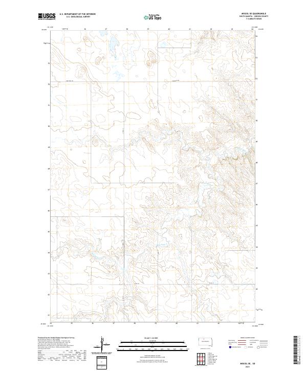
2021 Map of Miscol SE
USGS Topo · Published 2021About this map
High Bank Creek carves a winding path through this sparsely settled portion of Corson County, shaping the drainage patterns of the eastern Dakotas in the early twenty-first century. The landscape is defined by the rigid grid of the Public Land Survey System, with township boundaries for t19n r24e, t19n r25e, t18n r24e, and t18n r25e overlaying the natural topography. This section of the Great Plains maintains its agricultural character through a network of rural routes, including Firesteel Road and several county-maintained passages like Co Rd 44 and Co Rd 15. The lack of concentrated settlements or industrial markers reflects the enduring openness of the prairie, where the primary human impact remains the thin lines of local roads and the jurisdictional divisions of the land.
Find a feature on this map
9 named features on this map. Tap any name to fly to it.
Don’t see what you’re looking for? This feature index may not catch every label — zoom into the map to look around manually.
Map Details
Editions of this 2021 Miscol SE Map
This is the sole edition of this map. No revisions or reprints were ever made.
Other maps of this area

1953 · McIntosh
USGS Topo · 1:250,000

1956 · Miscol SW
USGS Topo · 1:24,000

1956 · Little Eagle SW
USGS Topo · 1:24,000

1956 · Miscol SE
USGS Topo · 1:24,000

1956 · Little Eagle NW
USGS Topo · 1:24,000

1956 · Miscol
USGS Topo · 1:24,000

1956 · Miscol NE
USGS Topo · 1:24,000

1958 · McIntosh
USGS Topo · 1:250,000

1975 · Glencross
USGS Topo · 1:24,000

1978 · Brewer Butte
USGS Topo · 1:24,000