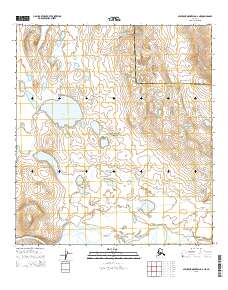
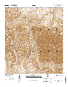
2015 Map of Misheguk Mountain A-2 NE
USGS Topo · Published 2015About this map
Noatak National Preserve encompasses most of this landscape in the Brooks Range foothills, where the wide valley of the Noatak River serves as a primary geographic corridor. This 2015 survey documents a remote arctic wilderness where water and topography dictate the environment. To the north, the Aglungak Hills rise above the tundra, overlooking notable bodies of water including Aniralik Lake and Lake Tutusirok. The map also captures the administrative divide between the North Slope Borough and Northwest Arctic Borough, which cuts across the high ground in the northeastern section. Smaller drainage systems like New Cottonwood Creek meander through the southern flats, illustrating the complex hydrologic network that feeds into the major river system.
Find a feature on this map
11 named features on this map. Tap any name to fly to it.
Don’t see what you’re looking for? This feature index may not catch every label — zoom into the map to look around manually.
Map Details
Editions of this 2015 Misheguk Mountain A-2 NE Map
This is the sole edition of this map. No revisions or reprints were ever made.
Other maps of this area

1951 · Misheguk Mountain
USGS Topo · 1:250,000

1956 · Misheguk Mountain
USGS Topo · 1:250,000
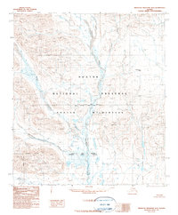
1990 · Misheguk Mountain B-2
USGS Topo · 1:63,360
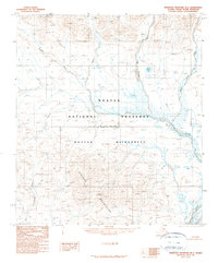
1990 · Misheguk Mountain B-1
USGS Topo · 1:63,360
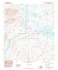
1990 · Misheguk Mountain A-2
USGS Topo · 1:63,360
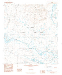
1990 · Misheguk Mountain A-1
USGS Topo · 1:63,360
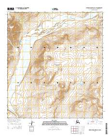
2015 · Misheguk Mountain A-2 SW
USGS Topo · 1:25,000
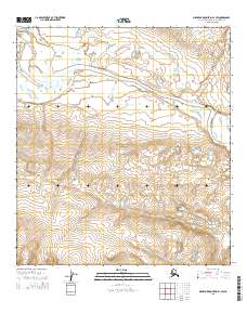
2015 · Misheguk Mountain A-1 SW
USGS Topo · 1:25,000
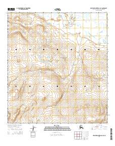
2015 · Misheguk Mountain A-2 SE
USGS Topo · 1:25,000
2015 · Misheguk Mountain B-1 SW
USGS Topo · 1:25,000