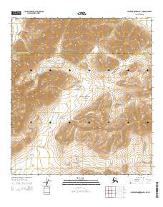
2015 Map of Misheguk Mountain A-3 NE
USGS Topo · Published 2015About this map
Noatak National Preserve encompasses the majority of this landscape, protecting a massive drainage basin in the western Brooks Range. The terrain is defined by the sharp elevations of the Kingasivik Mountains in the east and Imikneyak Mtn in the west, with the headwaters of Imikneyak Cr winding through the central valley. This 2015 survey reveals an environment without permanent settlements or roads, where the primary human-defined feature is the jurisdictional boundary line between the North Slope Borough and the Northwest Arctic Borough. The map captures the complex topographical detail of these remote peaks and the natural corridors created by glacial and fluvial processes in the Arctic wilderness.
Find a feature on this map
9 named features on this map. Tap any name to fly to it.
Don’t see what you’re looking for? This feature index may not catch every label — zoom into the map to look around manually.
Map Details
Editions of this 2015 Misheguk Mountain A-3 NE Map
This is the sole edition of this map. No revisions or reprints were ever made.
Other maps of this area

1951 · Misheguk Mountain
USGS Topo · 1:250,000

1955 · Misheguk Mountain A-3
USGS Topo · 1:63,360

1956 · Misheguk Mountain
USGS Topo · 1:250,000
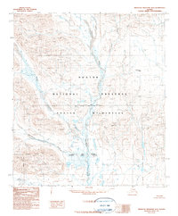
1990 · Misheguk Mountain B-2
USGS Topo · 1:63,360
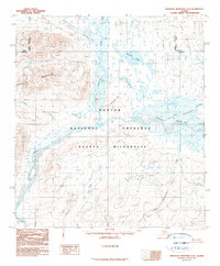
1990 · Misheguk Mountain A-2
USGS Topo · 1:63,360
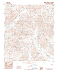
1990 · Misheguk Mountain B-3
USGS Topo · 1:63,360
2015 · Misheguk Mountain A-2 SW
USGS Topo · 1:25,000
2015 · Misheguk Mountain A-3 SW
USGS Topo · 1:25,000
2015 · Misheguk Mountain B-3 SW
USGS Topo · 1:25,000
2015 · Misheguk Mountain A-2 NW
USGS Topo · 1:25,000