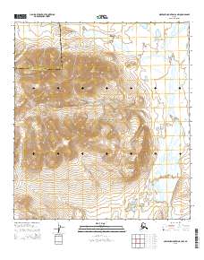
2015 Map of Misheguk Mountain A-2 NW
USGS Topo · Published 2015About this map
Noatak National Preserve encompasses most of this Arctic terrain, where the high ridges of the Kingasivik Mountains overlook a complex network of waterways. The eastern edge of the quadrangle is defined by the winding course of the Nimiuktuk River, which flows southward to join the Noatak River at the map's southern border. This landscape is characterized by high-elevation relief and seasonal drainages such as Tumit Cr and Arotak Cr. Near the southern boundary, the Akaluovik Lakes sit in a lower basin, providing a distinct hydrologic feature amidst the surrounding peaks. The map also records the administrative boundary between the North Slope Borough and the Northwest Arctic Borough, which cuts across the northwest corner of the sheet through township lines.
Find a feature on this map
13 named features on this map. Tap any name to fly to it.
Don’t see what you’re looking for? This feature index may not catch every label — zoom into the map to look around manually.
Map Details
Editions of this 2015 Misheguk Mountain A-2 NW Map
This is the sole edition of this map. No revisions or reprints were ever made.
Other maps of this area

1951 · Misheguk Mountain
USGS Topo · 1:250,000

1955 · Misheguk Mountain A-3
USGS Topo · 1:63,360

1956 · Misheguk Mountain
USGS Topo · 1:250,000
1990 · Misheguk Mountain B-2
USGS Topo · 1:63,360
1990 · Misheguk Mountain A-2
USGS Topo · 1:63,360
1990 · Misheguk Mountain B-3
USGS Topo · 1:63,360
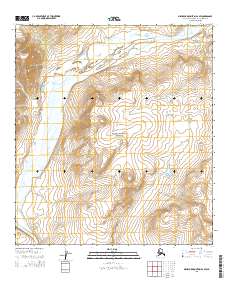
2015 · Misheguk Mountain A-2 SW
USGS Topo · 1:25,000
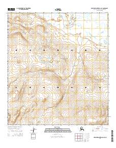
2015 · Misheguk Mountain A-2 SE
USGS Topo · 1:25,000
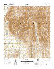
2015 · Misheguk Mountain B-2 SE
USGS Topo · 1:25,000
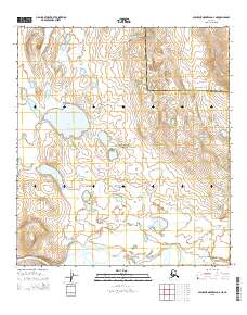
2015 · Misheguk Mountain A-2 NE
USGS Topo · 1:25,000