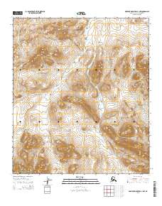
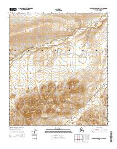
2015 Map of Misheguk Mountain C-1 NW
USGS Topo · Published 2015About this map
Noatak National Preserve encompasses the southern portion of this landscape, where the high arctic terrain is defined by a complex drainage system. The elevation is carved by several distinct watercourses, most notably the meandering Singayoak Cr which flows southward through the central part of the quadrangle. It is joined by Suvaloyuk Cr and Mechanic Cr, creating a remote hydrological network typical of the Brooks Range foothills. This 2015 survey by the U.S. Geological Survey provides a precise record of these water bodies before modern environmental shifts, serving as a critical baseline for understanding the unchanged character of this protected wilderness.
Find a feature on this map
8 named features on this map. Tap any name to fly to it.
Don’t see what you’re looking for? This feature index may not catch every label — zoom into the map to look around manually.
Map Details
Editions of this 2015 Misheguk Mountain C-1 NW Map
This is the sole edition of this map. No revisions or reprints were ever made.
Other maps of this area

1951 · Misheguk Mountain
USGS Topo · 1:250,000

1956 · Misheguk Mountain
USGS Topo · 1:250,000
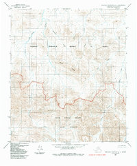
1984 · Misheguk Mountain C-1
USGS Topo · 1:63,360
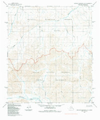
1984 · Misheguk Mountain C-2
USGS Topo · 1:63,360
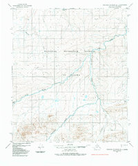
1984 · Misheguk Mountain D-1
USGS Topo · 1:63,360
1984 · Misheguk Mountain D-2
USGS Topo · 1:63,360
2015 · Misheguk Mountain C-1 SW
USGS Topo · 1:25,000
2015 · Misheguk Mountain D-1 SE
USGS Topo · 1:25,000
2015 · Misheguk Mountain C-1 SE
USGS Topo · 1:25,000
2015 · Misheguk Mountain D-1 SW
USGS Topo · 1:25,000