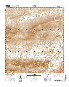
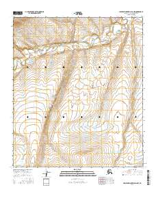
2016 Map of Misheguk Mountain D-2 SE
USGS Topo · Published 2016About this map
The Nuka River drains the remote Arctic landscape in this high-latitude survey of the North Slope. The terrain is characterized by the winding course of the Pilly Fork, which cuts through the mountainous relief of the De Long Mountains. This area, largely untouched by permanent settlement or infrastructure, showcases the natural hydrography of the Brooks Range foothills. Researchers of northern geography can trace the complex drainage patterns and elevation contours that define the northern wilderness before these waters eventually move toward the Arctic Ocean. The lack of roads or structures highlights the isolation of this sector, where the seasonal flow of the Nuka River remains the primary geographical marker.
Find a feature on this map
11 named features on this map. Tap any name to fly to it.
Don’t see what you’re looking for? This feature index may not catch every label — zoom into the map to look around manually.
Map Details
Editions of this 2016 Misheguk Mountain D-2 SE Map
This is the sole edition of this map. No revisions or reprints were ever made.
Other maps of this area

1951 · Misheguk Mountain
USGS Topo · 1:250,000

1956 · Misheguk Mountain
USGS Topo · 1:250,000
1984 · Misheguk Mountain C-1
USGS Topo · 1:63,360
1984 · Misheguk Mountain C-2
USGS Topo · 1:63,360
1984 · Misheguk Mountain D-1
USGS Topo · 1:63,360
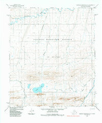
1984 · Misheguk Mountain D-2
USGS Topo · 1:63,360
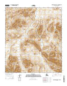
2015 · Misheguk Mountain C-1 NW
USGS Topo · 1:25,000
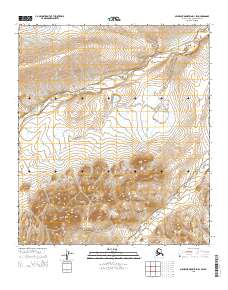
2015 · Misheguk Mountain D-1 SW
USGS Topo · 1:25,000
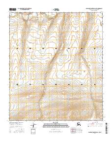
2016 · Misheguk Mountain D-2 NE
USGS Topo · 1:25,000
2016 · Misheguk Mountain D-2 NW
USGS Topo · 1:25,000