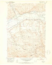
1952 Map of Mission
USGS Topo · Published 1953About this map
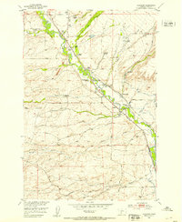
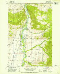
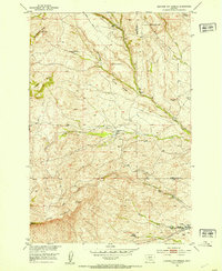
The Shields River meets the Yellowstone River in this section of Park County, where the valley floor is defined by a dense network of irrigation systems including the Vallis Ditch and the Upper Windsor Ditch. During the early 1950s, the landscape was dominated by large-scale ranching and early aviation infrastructure, as seen with the Livingston Municipal Airport noted as being under construction.
Find a feature on this map
65 named features on this map. Tap any name to fly to it.
Don’t see what you’re looking for? This feature index may not catch every label — zoom into the map to look around manually.
Map Details
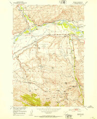
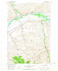
Editions of this 1952 Mission Map
4 editions found

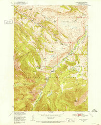
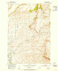
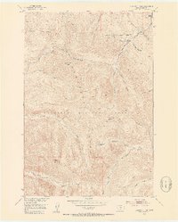
Other maps of this area

1891 · Livingston
USGS Topo · 1:250,000

1893 · Livingston
USGS Topo · 1:250,000

1947 · Bozeman
USGS Topo · 1:250,000

1948 · Bozeman
USGS Topo · 1:250,000
1951 · Mount Rae
USGS Topo · 1:24,000
1951 · Chadborn
USGS Topo · 1:24,000
1951 · Grannis
USGS Topo · 1:24,000
1951 · Brisbin
USGS Topo · 1:24,000
1951 · Livingston Peak
USGS Topo · 1:24,000
1951 · Hunters Hot Springs
USGS Topo · 1:24,000