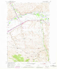
1952 Map of Mission
USGS Topo · Published 1981About this map
The Shields River and Yellowstone River converge in this ranching landscape of Park County, where the mid-century economy is written in the names of extensive family holdings. The transition from the Northern Pacific to the Burlington Northern railroad era is visible across the central valley, alongside an intricate network of irrigation channels like the Upper Ditch and Lower Windsor Ditch. This map serves as a detailed record of pioneer homesteads and legacy operations, including the Windsor Headquarters Ranch and the O Bar A Ranch.
Find a feature on this map
59 named features on this map. Tap any name to fly to it.
Don’t see what you’re looking for? This feature index may not catch every label — zoom into the map to look around manually.
Map Details
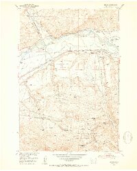
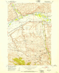
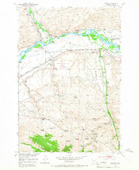
Editions of this 1952 Mission Map
4 editions found
Other maps of this area

1891 · Livingston
USGS Topo · 1:250,000

1893 · Livingston
USGS Topo · 1:250,000

1947 · Bozeman
USGS Topo · 1:250,000

1948 · Bozeman
USGS Topo · 1:250,000

1951 · Mount Rae
USGS Topo · 1:24,000

1951 · Chadborn
USGS Topo · 1:24,000

1951 · Grannis
USGS Topo · 1:24,000

1951 · Brisbin
USGS Topo · 1:24,000

1951 · Livingston Peak
USGS Topo · 1:24,000

1951 · Hunters Hot Springs
USGS Topo · 1:24,000