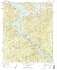
1971 Map of Mitchell Dam
USGS Topo · Published 1973About this map
Mitchell Dam anchors this stretch of the Coosa River, marking the transition where the Coosa River Mitchell Lake feeds through the Powerplant into the Jordan Lake Coosa River. The 1971 landscape reveals the complex hydrology of the region, where significant tributaries like Weogufka Creek, Hatchet Creek, and Walnut Creek converge with the main river channel. This geography created a rugged shoreline of inlets and islands, including the prominent Goat Island near the Chilton and Coosa county line.
Find a feature on this map
25 named features on this map. Tap any name to fly to it.
Don’t see what you’re looking for? This feature index may not catch every label — zoom into the map to look around manually.
Map Details
Editions of this 1971 Mitchell Dam Map
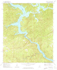
2 editions found
Other maps of this area

1891 · Clanton
USGS Topo · 1:125,000

1901 · Wetumpka
USGS Topo · 1:125,000

1903 · Wetumpka
USGS Topo · 1:125,000

1953 · Montgomery
USGS Topo · 1:250,000

1956 · Montgomery
USGS Topo · 1:250,000

1957 · Montgomery
USGS Topo · 1:250,000

1959 · Billingsley
USGS Topo · 1:62,500

1959 · Elmore
USGS Topo · 1:62,500

1971 · Richville
USGS Topo · 1:24,000
1971 · Mitchell Dam NW
USGS Topo · 1:24,000