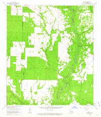
1961 Map of Mittie
USGS Topo · Published 1963About this map
Whisky Chitto Creek meanders through the heart of this Louisiana landscape, defining the topography of eastern Allen Parish during the early 1960s. The settlement pattern is largely rural and dispersed, anchored by Mittie and the Simmons Settlement. This area shows a transition from earlier industrial infrastructure to a more quiet agricultural and timber-based economy, evidenced by the Old Railroad Grade that cuts across the western sections. Local life is centered around country churches and family landmarks such as Cherry Grove Ch, Twin Oak Ch, and Mt Fair Ch. Water features are abundant, including several family-named water bodies like Jerry Wright Lake and Isaiah Wright Lake, along with the winding courses of Tenmile Creek and Brushy Branch. The boundary between Beauregard and Allen Parish is clearly delineated, crossing through heavily wooded areas and open prairie lands.
Find a feature on this map
25 named features on this map. Tap any name to fly to it.
Don’t see what you’re looking for? This feature index may not catch every label — zoom into the map to look around manually.
Map Details
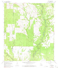
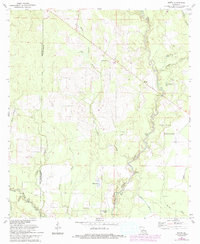
Editions of this 1961 Mittie Map
3 editions found
Other maps of this area

1935 · Mittie
USGS Topo · 1:31,680

1947 · Oberlin
USGS Topo · 1:31,680

1947 · Pine Chapel
USGS Topo · 1:31,680

1947 · Le Blanc
USGS Topo · 1:31,680

1947 · Reeves
USGS Topo · 1:31,680

1947 · Elizabeth
USGS Topo · 1:31,680

1947 · Grant
USGS Topo · 1:31,680

1947 · Bundick
USGS Topo · 1:31,680

1947 · Sugartown
USGS Topo · 1:31,680

1948 · Grant
USGS Topo · 1:24,000