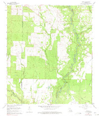
1961 Map of Mittie
USGS Topo · Published 1975About this map
Whisky Chitto Creek meanders through the heart of this landscape, its winding course defining the timber and wetlands of the Allen and Beauregard Parish border. During the early 1960s, the rural character of this region was anchored by small communities and family-named landmarks like Simmons Settlement and the nearby Simmons Cem. The map reveals a transition in land use, where an Old Railroad Grade reflects former logging activity, replaced by modern petroleum exploration indicated by scattered oil wells.
Find a feature on this map
27 named features on this map. Tap any name to fly to it.
Don’t see what you’re looking for? This feature index may not catch every label — zoom into the map to look around manually.
Map Details
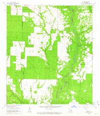
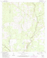
Editions of this 1961 Mittie Map
3 editions found
Other maps of this area

1935 · Mittie
USGS Topo · 1:31,680

1947 · Oberlin
USGS Topo · 1:31,680

1947 · Pine Chapel
USGS Topo · 1:31,680

1947 · Le Blanc
USGS Topo · 1:31,680

1947 · Reeves
USGS Topo · 1:31,680

1947 · Elizabeth
USGS Topo · 1:31,680

1947 · Grant
USGS Topo · 1:31,680

1947 · Bundick
USGS Topo · 1:31,680

1947 · Sugartown
USGS Topo · 1:31,680

1948 · Grant
USGS Topo · 1:24,000