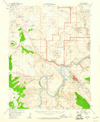
1959 Map of Moab
USGS Topo · Published 1960About this map
The town of Moab is depicted at a critical moment in the late 1950s, serving as a hub for both the budding uranium industry and regional tourism. The map detail reflects this dual identity, showing the Ore Reduction Plant and Shinarump Mines alongside the early boundaries of Arches National Monument. Significant geological landmarks such as Balanced Rock, The Windows Section, and Delicate Arch highlight the red rock landscape, while historical markers like the Elk Mtn Mission Historical Mon and ancient Cliff Dwellings or Petroglyphs near the Colorado River speak to the deep human history of the canyonlands.
Find a feature on this map
95 named features on this map. Tap any name to fly to it.
Don’t see what you’re looking for? This feature index may not catch every label — zoom into the map to look around manually.
Map Details
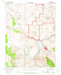
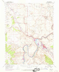
Editions of this 1959 Moab Map
3 editions found
Other maps of this area

1885 · La Sal
USGS Topo · 1:250,000

1951 · The Knoll
USGS Topo · 1:62,500

1951 · Upheaval Dome
USGS Topo · 1:62,500

1952 · Moab 4 NW
USGS Topo · 1:24,000

1952 · Moab 3 NE
USGS Topo · 1:24,000

1952 · Moab 3 SE
USGS Topo · 1:24,000

1952 · Carlisle 2 NE
USGS Topo · 1:24,000

1952 · Moab 4 SW
USGS Topo · 1:24,000

1954 · Mt Peale 2 NW
USGS Topo · 1:24,000

1954 · Carlisle 1 NE
USGS Topo · 1:24,000