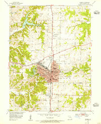
1953 Map of Moberly
USGS Topo · Published 1955About this map
Moberly functions as a bustling railroad hub in the early 1950s, defined by the intersection of the Wabash and Missouri-Kansas-Texas lines. This survey captures a dense civic landscape, featuring an extensive network of neighborhood schools like the Lincoln Sch and Sisters of Loretto Sch, alongside higher education at Moberly Jr College. The town's infrastructure is well-established, with the Hospital, Water Tank, and the Omar N Bradley Airport serving the growing community.
Find a feature on this map
50 named features on this map. Tap any name to fly to it.
Don’t see what you’re looking for? This feature index may not catch every label — zoom into the map to look around manually.
Map Details
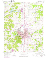
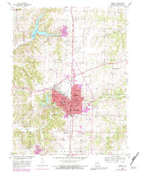
Editions of this 1953 Moberly Map
3 editions found
Other maps of this area

1890 · Moberly
USGS Topo · 1:125,000

1890 · Glasgow
USGS Topo · 1:125,000

1908 · Macon
USGS Topo · 1:62,500

1910 · Macon
USGS Topo · 1:62,500

1952 · Middle Grove
USGS Topo · 1:24,000

1953 · Moberly
USGS Topo · 1:250,000

1953 · Renick
USGS Topo · 1:24,000

1953 · Huntsville
USGS Topo · 1:24,000

1953 · Higbee
USGS Topo · 1:24,000

1953 · Clark
USGS Topo · 1:24,000