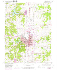
1953 Map of Moberly
USGS Topo · Published 1979About this map
Moberly thrives as a central rail and education hub in Randolph County, anchored by the extensive Norfolk And Western rail lines that intersect the downtown core. The town’s social and institutional landscape is exceptionally detailed, featuring Moberly Jr College, the Sisters of Loretto Sch, and Lincoln Sch. Local recreation and leisure are centered around Rothwell Park and the Moberly Country Club, while the outskirts show a shift toward modern infrastructure with the Drive-in Theater and the Omar N Bradley Airport.
Find a feature on this map
53 named features on this map. Tap any name to fly to it.
Don’t see what you’re looking for? This feature index may not catch every label — zoom into the map to look around manually.
Map Details
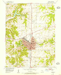
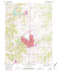
Editions of this 1953 Moberly Map
3 editions found
Other maps of this area

1890 · Moberly
USGS Topo · 1:125,000

1890 · Glasgow
USGS Topo · 1:125,000

1908 · Macon
USGS Topo · 1:62,500

1910 · Macon
USGS Topo · 1:62,500

1952 · Middle Grove
USGS Topo · 1:24,000

1953 · Moberly
USGS Topo · 1:250,000

1953 · Renick
USGS Topo · 1:24,000

1953 · Huntsville
USGS Topo · 1:24,000

1953 · Higbee
USGS Topo · 1:24,000

1953 · Clark
USGS Topo · 1:24,000