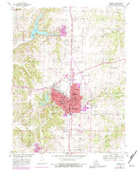
1953 Map of Moberly
USGS Topo · Published 1983About this map
Moberly's industrial and educational character is evident in this mid-century survey, which reveals a landscape shaped by both natural resources and transportation. The city serves as a central hub for the Norfolk and Western railroad, with tracks bisecting the community and supporting the nearby coal operations indicated by a large Strip Mine and scattered mine dumps to the west. Local education is deeply rooted here, featuring a dense network of neighborhood institutions such as Lincoln Sch, Central Sch, and the Moberly Jr College.
Find a feature on this map
53 named features on this map. Tap any name to fly to it.
Don’t see what you’re looking for? This feature index may not catch every label — zoom into the map to look around manually.
Map Details
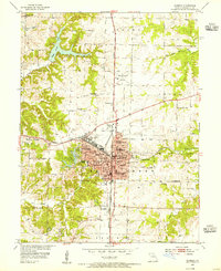
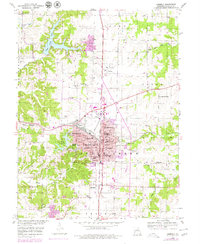
Editions of this 1953 Moberly Map
3 editions found
Other maps of this area

1890 · Moberly
USGS Topo · 1:125,000

1890 · Glasgow
USGS Topo · 1:125,000

1908 · Macon
USGS Topo · 1:62,500

1910 · Macon
USGS Topo · 1:62,500

1952 · Middle Grove
USGS Topo · 1:24,000

1953 · Moberly
USGS Topo · 1:250,000

1953 · Renick
USGS Topo · 1:24,000

1953 · Huntsville
USGS Topo · 1:24,000

1953 · Higbee
USGS Topo · 1:24,000

1953 · Clark
USGS Topo · 1:24,000