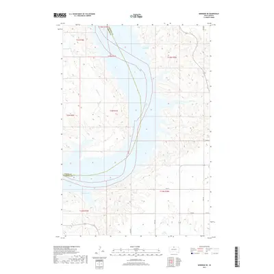
2017 Map of Mobridge NE
USGS Topo · Published 2017About this map
Lake Oahe dominates the central Missouri River valley where Corson and Campbell counties meet. The shoreline is intricately carved by numerous inlets, reflecting the drowned drainage patterns of the northern plains. To the west, the landscape is defined by the winding course of Mad Bear Cr, which feeds into the larger reservoir system near Ritter Bay. Further south, Gallaway Bay and Hanson Bay create a jagged eastern bank, while smaller tributaries like Locke Cr and Cane Cr suggest the natural hydrology that existed before the valley's inundation. The map details a sparsely populated ranching or farming region, connected by a strictly rectilinear grid of section roads including 118th St and 121st St, which terminate abruptly at the water's edge.
Find a feature on this map
21 named features on this map. Tap any name to fly to it.
Don’t see what you’re looking for? This feature index may not catch every label — zoom into the map to look around manually.
Map Details
Editions of this 2017 Mobridge NE Map
This is the sole edition of this map. No revisions or reprints were ever made.
Other maps of this area

1953 · McIntosh
USGS Topo · 1:250,000

1958 · McIntosh
USGS Topo · 1:250,000

1965 · Herreid SW
USGS Topo · 1:24,000

1965 · Pollock SE
USGS Topo · 1:24,000

1966 · Kenel
USGS Topo · 1:24,000

1967 · Glenham
USGS Topo · 1:24,000

1967 · Selby SW
USGS Topo · 1:24,000

1967 · Mobridge NE
USGS Topo · 1:24,000

1967 · Mobridge NW
USGS Topo · 1:24,000

1967 · Mobridge
USGS Topo · 1:24,000