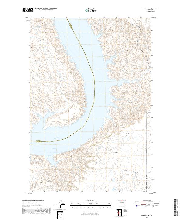
2021 Map of Mobridge NE
USGS Topo · Published 2021About this map
The Missouri River corridor north of Mobridge defines this landscape, where the waters of Lake Oahe fill the deep incisions of the Missouri Trench. This 2021 topographic perspective captures the dramatic interaction between the high prairie plateaus and the sprawling reservoir system along the border of Campbell Co and Corson Co. The shoreline is heavily articulated by numerous inlets and drainage points, including Gallaway Bay and Ritter Bay, which mark where former creek valleys were inundated by the damming of the river.
Find a feature on this map
24 named features on this map. Tap any name to fly to it.
Don’t see what you’re looking for? This feature index may not catch every label — zoom into the map to look around manually.
Map Details
Editions of this 2021 Mobridge NE Map
This is the sole edition of this map. No revisions or reprints were ever made.
Other maps of this area

1953 · McIntosh
USGS Topo · 1:250,000

1958 · McIntosh
USGS Topo · 1:250,000

1965 · Herreid SW
USGS Topo · 1:24,000

1965 · Pollock SE
USGS Topo · 1:24,000

1966 · Kenel
USGS Topo · 1:24,000

1967 · Glenham
USGS Topo · 1:24,000

1967 · Selby SW
USGS Topo · 1:24,000

1967 · Mobridge NE
USGS Topo · 1:24,000

1967 · Mobridge NW
USGS Topo · 1:24,000

1967 · Mobridge
USGS Topo · 1:24,000