Loading...
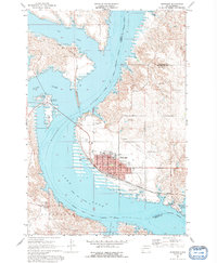
Loading map...1967 Map of Mobridge
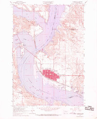
USGS Topo · Published 1992About this map
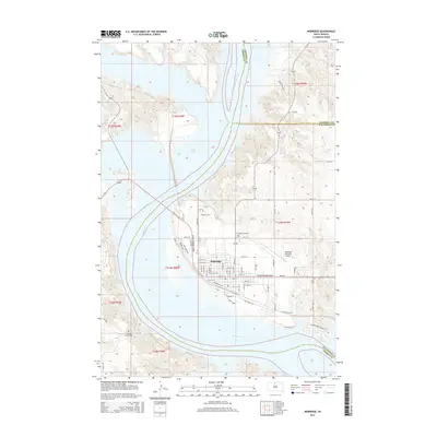
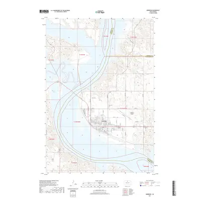
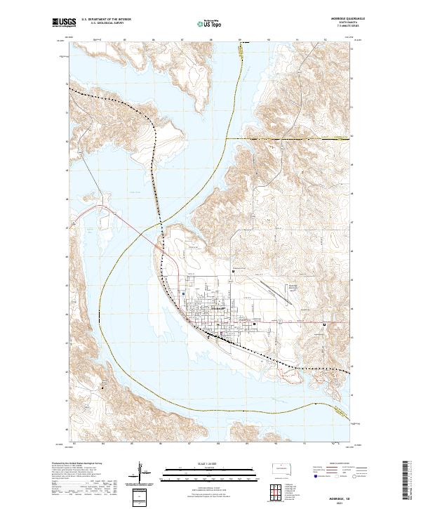
Mobridge occupies the eastern bluffs of the Missouri River valley on this 1967 survey, where the Chicago Milwaukee St Paul and Pacific railroad crosses the water. This era finds the region transformed by the rising waters of Lake Oahe, which submerged the valley floor and redefined the shoreline. Across the bay, the Standing Rock Indian Reservation Boundary meets the river, marking a landscape of significant cultural memory near the confluence with the Grand River.
Find a feature on this map
39 named features on this map. Tap any name to fly to it.
Don’t see what you’re looking for? This feature index may not catch every label — zoom into the map to look around manually.
Map Details
Date Portrayed1967
Date Published1992
PublisherU.S. Geological Survey
Map TypeTopographic
Scale1:24,000
Physical Dimensions22 x 26.7 inches
Editions of this 1967 Mobridge Map
2 editions found
Historical Maps of Mobridge Through Time
6 maps found
Featured Locations
Source Details
SourceU.S. Geological Survey
CopyrightPublic Domain