2024 Map of Moca
USGS Topo · Published 2024About this map
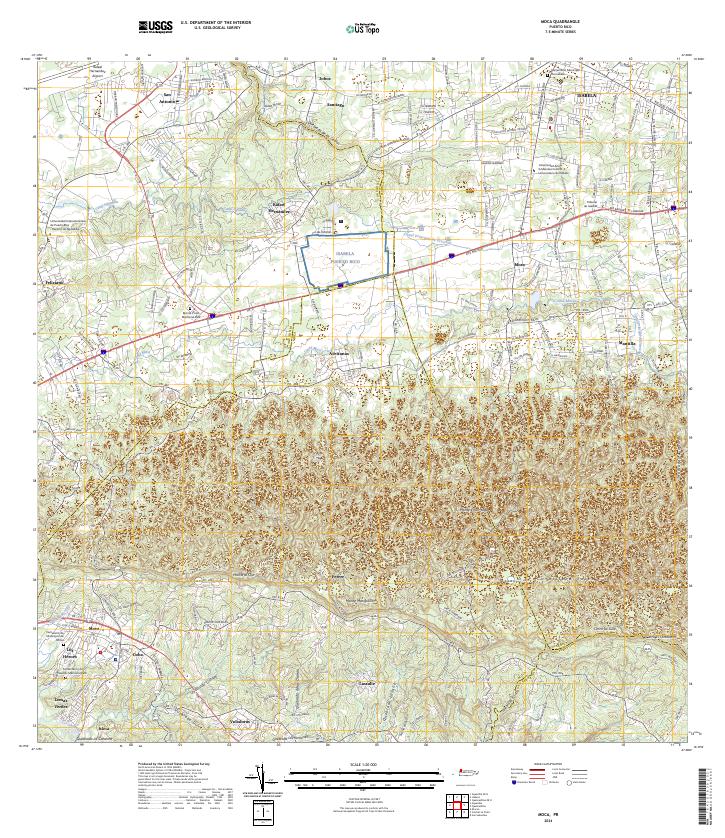
Isabela and Moca anchor this detailed survey of northwestern Puerto Rico, where the coastal plains give way to the rising elevations of the Cordillera Jaicoa. The landscape is defined by an intricate network of water management and natural drainages, including the Canal Principal de Diversión and Canal Moca, which cut across the terrain near settlements like Aceitunas and Mora. In the south, the Río Culebrinas and its tributaries, such as Quebrada Grande and Quebrada Dulce, snake through the valley near Voladoras and Isleta.
Find a feature on this map
86 named features on this map. Tap any name to fly to it.
Don’t see what you’re looking for? This feature index may not catch every label — zoom into the map to look around manually.
Map Details
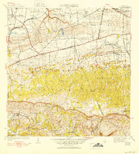
Editions of this 2024 Moca Map
This is the sole edition of this map. No revisions or reprints were ever made.
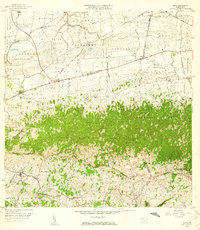
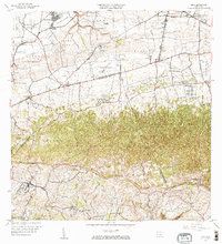
Historical Maps of Estancias del Coquí Through Time
6 maps found


Featured Locations
- Sector Tocones, Isabela
- Sector Nieves, Moca
- Moca, Moca
- Sector Domenech, San Sebastián
- Sector Villa Morales, San Sebastián